

Over the past few years, Skirama Kronplatz/Plan de Corones has devoted great commitment at promoting the historical and cultural heritage of our popular mountain, aiming at sharing it with as many people as possible. People like you. So, what better way to achieve this goal if not by realising an ambitious and worldwide unique project? Our Via Artis.

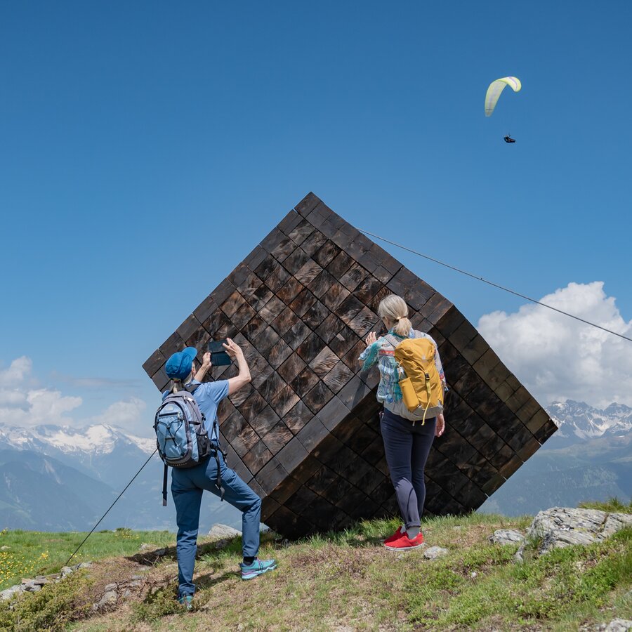
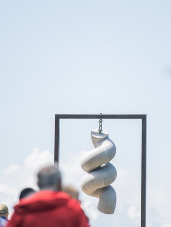
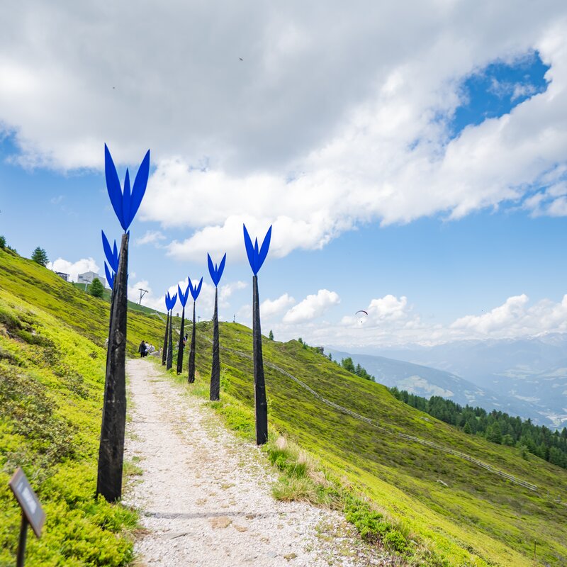
Situated at an altitude of 2,275 metres, the Via Artis is the highest located open-air art gallery in the world! This 6 km circular trail features different works of regional artists which you can enjoy alongside the impressive backdrop of the Dolomites and the main Alpine divide. As they are crafted out of the damaged wood caused by storm Vaja in 2018 as well as the massive snow load damages in 2019, the exhibited artworks represent a further contribute to our endeavours towards a more sustainable future. Moreover, at its three access points, the Via Artis provides you with interesting insights into three topics of major importance for the Kronplatz/Plan de Corones:
In this section we’ll tell you everything about the first path that ever led to the summit of our Kronplatz. Unlike you might think, this trail, created by the Alpini (mountain troops) in the mid-1950s, was not built for military defence purposes, but… well, this is something you’ll discover during your walk along the Via Artis!
Learn about the many tree and plant species that characterise the high subalpine landscape of the Kronplatz, what challenges we need to overcome in order to protect its flora and what we undertake to foster its biodiversity.
Throughout the centuries, mountain farmers have been playing an irreplaceable role in the preservation of our cultural and natural landscapes. This trail section not only explains the importance of alpine pastures in preserving rural traditions, for tourism and the regional circular economy – you will also discover how they affect the preservation of our biodiversity. And while we are speaking of sustainability: did you know that there is a really close connection between transhumance in summer and the preparation of ski slopes in winter?